

 Rythu nestam award.jpg)


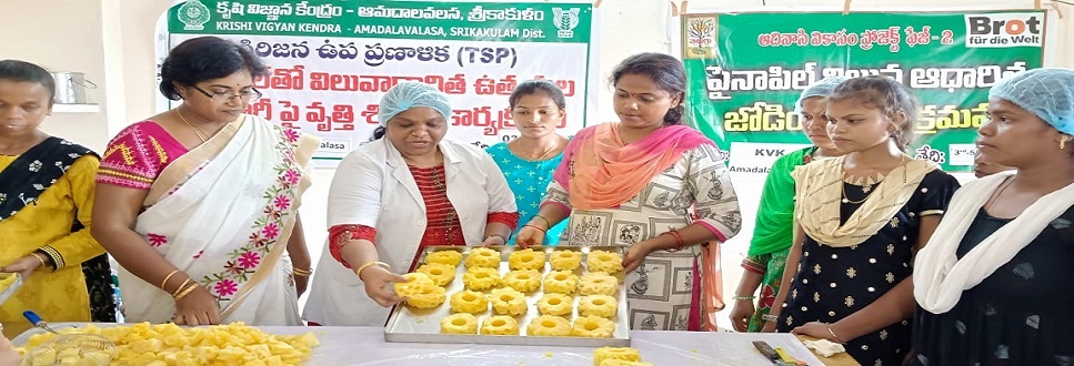


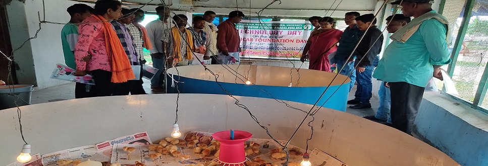


The Krishi Vigyan Kendra (K.V.K.) at Amadalavalasa in Srikakulam district was established on 1.1.1985 with Acharya N.G. Ranga Agricultural University by the ICAR. The K.V.K., Amadalavalasa is 12 km away from Srikakulam, the District Head-Quarters on the State Highway towards Palakonda. The Srikakulam road railway station is situated in Amadalavalasa at a distance of 130 km from Visakhapatnam. The K.V.K. is an Institutional project of ICAR to demonstrate the application of Science and Technology input of Agricultural research on farmers’ fields and education in rural areas with the help of multi-disciplinary team of scientists. The Agricultural technology is transferred through imparting vocational training to the farmers, farmwomen, rural youth and grass root level extension workers with the broad based agricultural production approach.
|
Profile of Srikakulam : |
Srikakulam district is extreme North-Eastern district of Andhra Pradesh situated within the geographical co-ordinates of 18-20' and 19-10' Northern latitude and 83-5' and 84-50' of Eastern longitude. While a line of heights of the great Eastern ghats run from Eastern Vizianagaram district flanks in on the South and West, while Orissa bounds in on the North and Bay of Bengal on the East.
The district is mostly Agriculture oriented and the land under cultivation being 3,18,316 ha of the geographical area of 5,84,310 ha. Out of this, an area of 1,86,245 ha is under irrigation and the rest of 1,32,071 ha is under rain fed. The major soil types of the district are red sandy loam soils (62.92%) followed by sandy soils (19.94%), sandy loams with clay base (10.92%) and alluvial soils (5.95 %). The normal rainfall of the district is 1162 mm.
Forest area of 70,842 ha and pastures f 931 ha are there in the district. The major sources of irrigation in the district are Vamsadhara project covering 45,310 ha, Narayanapuram covering 23,000 ha and Thotapalli regulator covering 17,085 ha. The ponds and bore wells covers 77,110 ha and 1195 ha of land, respectively.
The common crop rotations followed are Paddy-pulses, Paddy-oilseeds, Mesta-paddy-pulses, Groundnut-vegetables, Ragi-groundnut, Millets-pulses.
The district Srikakulam has good potentiality for Horticultural crops. The important Horticultural crops grown are Cashew (26000 ha, productivity 0.8 MT/ha), followed by Coconut (14,586 ha, productivity 12,000 coconuts per ha), Mango (10,286 ha, productivity 7 MT/ha), Banana (1925 ha, productivity 16 MT/ha), Chillies (3,249 ha, productivity 1.5 MT/ha). Almost all types of vegetables are being grown in the district in an extent of 5,829 ha.
With regards to livestock, the district is more dominated by white cattle (5.6 lakhs) followed by buffaloes (2.04 lakhs), sheep (2.31 lakhs), goats (1.24 lakhs), pigs (0.32 lakhs) and poultry (11.11 lakhs).
There is a lot of scope for Fisheries since the district has got long coastal length, which is the highest among the nine coastal districts of Andhra Pradesh. The fishermen population reported to be 45,589 living in 98 villages and there are about 123 fishermen co-operative societies in the district.
|
Srikakulam district at a glance |
1. Total population : 25 lakhs
2. Cultivators : 3.7 lakhs
3. Agricultural labourers : 2.5 lakhs
4. No. of villages : 2063
5. Geographical area : 5,83,700 ha
6. Gross cultivable area : 4,50,880 ha
7. Net area sown : 3,26,740 ha
8. Area sown more than once : 64,529 ha
9. Net area irrigated : 1,85,490 ha
10. Gross area irrigated : 2,11,880 ha
11. Tanks : 54 %
12. Canals : 43 %
13. Tube wells, wells & others : 3 %